
 EN
EN
 ar
ar bg
bg hr
hr cs
cs da
da nl
nl fi
fi fr
fr de
de el
el hi
hi it
it ko
ko no
no pl
pl pt
pt ro
ro ru
ru es
es sv
sv tl
tl iw
iw id
id lv
lv lt
lt sr
sr sk
sk sl
sl uk
uk vi
vi et
et hu
hu th
th tr
tr fa
fa ms
ms hy
hy ka
ka ur
ur bn
bn mn
mn ta
ta kk
kk uz
uz ku
ku
Inclinometer-based Hydrostatic Leveling System
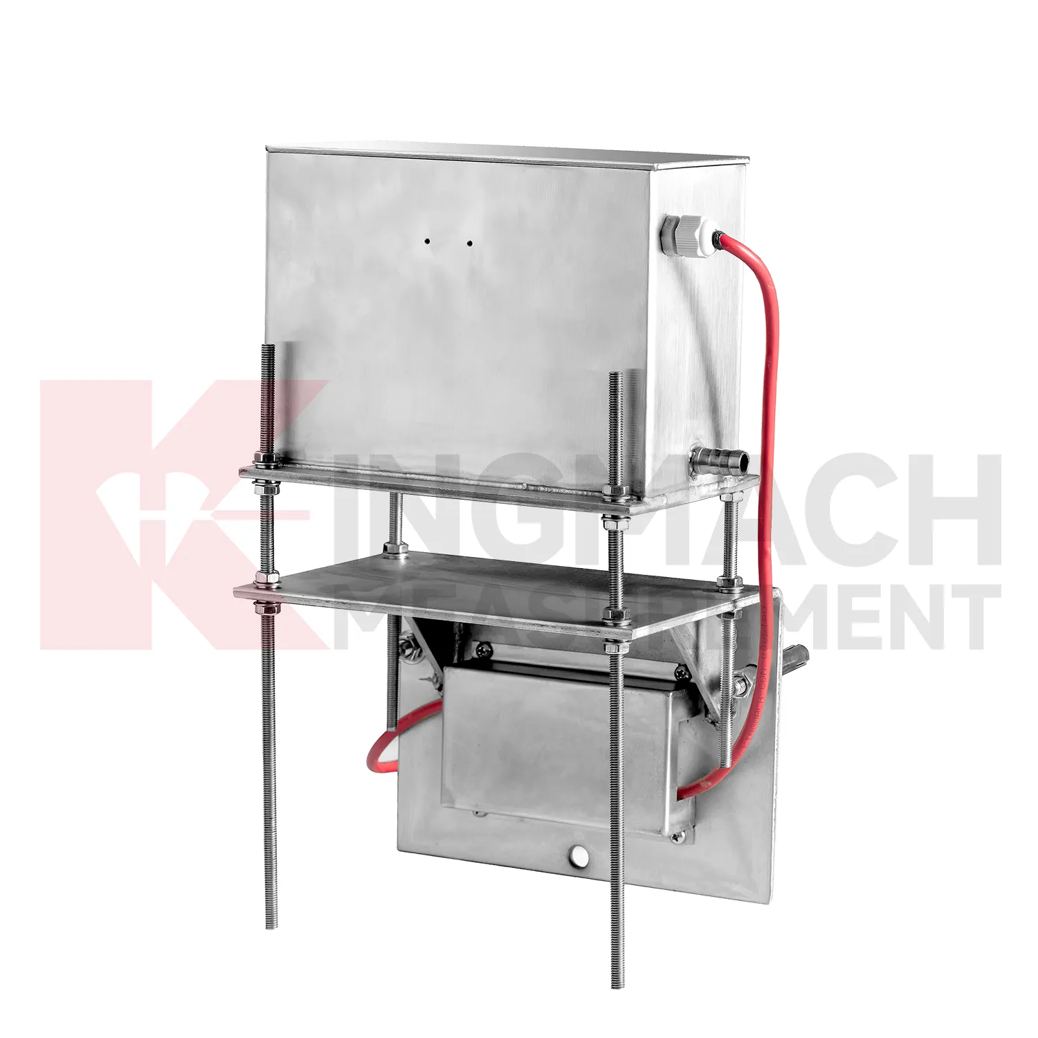
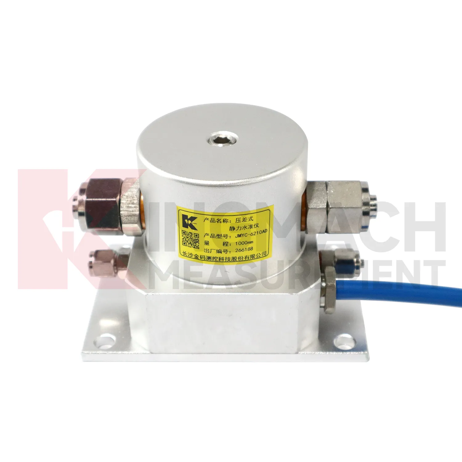
The JMYC-62XXAD wide-range differential pressure hydrostatic level sensor extends Kingmach Inclinometer-based Hydrostatic Leveling System into projects where settlement may be too large for micro range instruments. It works as a reference-point hydrostatic system for uneven pavement settlement, nonlinear cross-section settlement, soft foundation treatment, land reclamation foundations, dam settlement, bridge deflection, slope stability, and building settlement. Published specifications include 500 mm, 1000 mm, 2000 mm, and 4000 mm ranges, 0.1 mm resolution, 0.2%FS accuracy, RS485 output, DC 9V to 24V supply, power consumption below 0.5W, and an operating temperature from -30 degrees Celsius to +80 degrees Celsius. The instrument is especially relevant when a profile may keep moving during filling, preloading, or staged construction. Planning should define the fixed reference point first, then divide the section into measuring locations that can reveal uneven deformation. Cable protection, cabinet access, sensor elevation, and construction vehicle paths need early coordination. When the data is reviewed later, the wide range helps distinguish gradual consolidation from sudden local movement across a road, reclamation area, or embankment section.
Application of Inclinometer-based Hydrostatic Leveling System
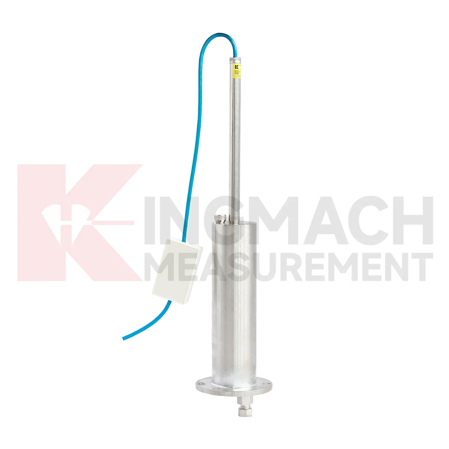
Integrated structural health monitoring uses Inclinometer-based Hydrostatic Leveling System as the vertical deformation layer within a larger data set. Settlement rarely explains a site by itself; it usually needs to be read with tilt, strain, load, pore pressure, displacement, water level, rainfall, vibration, and inspection findings. Kingmach settlement products support several measurement styles, including embedded single-point gauges for foundations and subgrades, hydrostatic level sensors for multi-point comparison, wide-range differential pressure instruments for long profiles, and magnetic ring gauges for layered soil observation. Before installation, each point should have a reason: a pier bearing seat, a soft ground section, a basement wall, a tunnel invert, or a dam gallery position. The alarm logic should then match that reason, not just a generic number. For example, a slow uniform drift across all hydrostatic channels may mean something different from one local point moving against a steady reference. A well organized system keeps channel names, drawings, baselines, thresholds, and inspection duties connected so the team can act on the signal instead of debating where it came from.
The future of Inclinometer-based Hydrostatic Leveling System
Future Inclinometer-based Hydrostatic Leveling System will make long-term maintenance analytics more practical. Settlement records are often slow, which means the useful signal may appear over months instead of days. Platforms can compare cumulative settlement, daily rate, seasonal pattern, rainfall, groundwater, traffic loading, filling stage, and excavation history. Kingmach products such as JMYC-62XXAD and JMDL-47XXAT can support this longer view when the baseline and reference point remain stable. Owners will benefit from reports that separate normal consolidation from renewed deformation after new construction, water-level change, or heavy traffic. This is especially important for roadbeds, bridges, buildings, dykes, dams, and reclamation foundations where movement may continue after handover. Future reports should show rate changes, dormant periods, and renewed activity in a way maintenance teams can compare across many assets.
Care & Maintenance of Inclinometer-based Hydrostatic Leveling System
Remote acquisition for Inclinometer-based Hydrostatic Leveling System needs commissioning checks across the whole data chain. Verify RS485 wiring, bus address, power supply, channel name, units, reference point, and platform display before routine collection begins. For Kingmach hydrostatic sensors and automated settlement systems, move through each channel and confirm that the displayed point matches the physical location. Label cabinets, cables, tubes, and sensor numbers clearly. During operation, data gaps should be compared with power outages, communication faults, storms, cabinet work, or platform changes. If a sensor is replaced, record the old serial number, new serial number, old baseline, new baseline, and reason for replacement. Remote data is only trustworthy when the physical point and digital channel stay aligned. The record should include who inspected the point, what changed on site, and whether nearby instruments showed the same trend, so the maintenance team can separate sensor trouble from real settlement. The record should include who inspected the point, what changed on site, and whether nearby instruments showed the same trend, so the maintenance team can separate sensor trouble from real settlement.
Kingmach Inclinometer-based Hydrostatic Leveling System
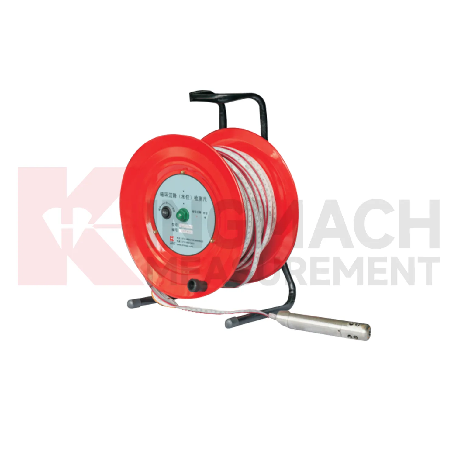
Layered ground behavior is another reason to use Inclinometer-based Hydrostatic Leveling System. Kingmach JMCJ-1003/1005 magnetic ring settlement water level gauge measures underground layer settlement and groundwater level in foundations, subgrades, foundation pits, embankments, and other underground structures. Magnetic rings are installed in boreholes, and the probe emits audible and visual alerts when it senses a ring. Water level is detected through conductivity when the probe contacts water. The listed accuracy is plus or minus 1 mm, with 30 m, 50 m, and 100 m depth options. This method gives engineers a way to separate shallow settlement from deeper layer movement while also seeing water level variation. It is especially useful when soil behavior and groundwater are tied together. If the curve changes suddenly, field teams should check reference stability, cable or tube condition, recent work, and weather before treating the value as structural movement. If the curve changes suddenly, field teams should check reference stability, cable or tube condition, recent work, and weather before treating the value as structural movement.
FAQ
Q: What does JMDL-47XXAT measure?
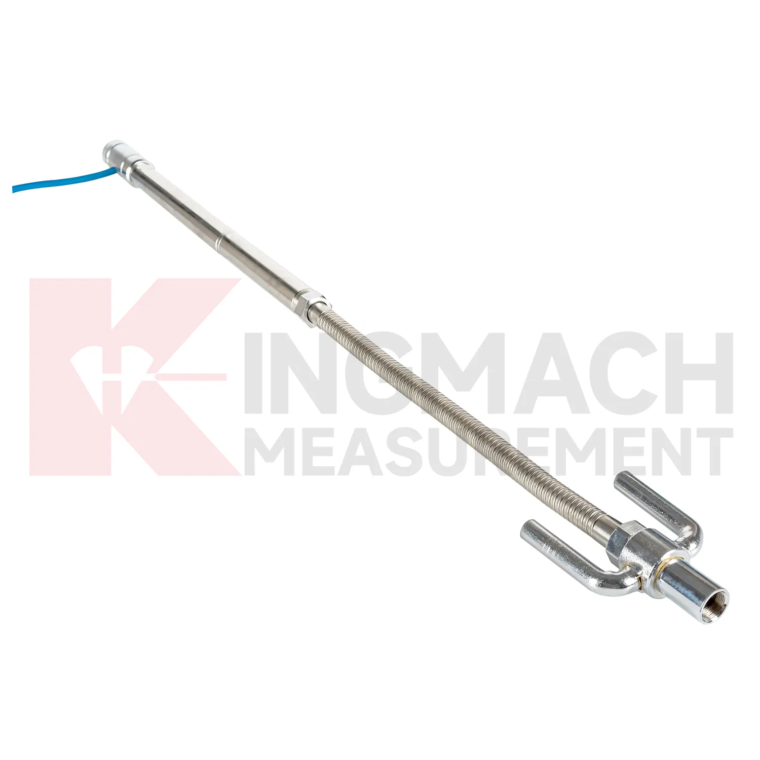
A: It measures in-situ subgrade settlement, embankment heave, foundation pit base uplift, tunnel bottom uplift, dyke compression, and pile foundation settlement.
Q: What ranges are listed for JMDL-47XXAT?
A: The listed ranges are 100 mm, 200 mm, 300 mm, and 400 mm, with 0.01 mm resolution on the 100 and 200 mm models and 0.1 mm on larger models.
Q: How is the gauge installed?
A: It uses a settlement plate, electrical displacement sensor, measuring rod, metal flexible conduit, anchor head, extension rod, and bottom anchor head.
Q: Can traffic operation continue during monitoring?
A: The side-exit cable routing is designed to avoid interference with pavement compaction and can support monitoring during traffic operation when installed correctly.
Q: What should be recorded during installation?
A: Record plate position, anchor depth, extension length, cable route, baseline, model, range, and construction stage.
Reviews
Matthew Garcia
Instrumentation cables are durable and perform well even in harsh environments. Will definitely order again.
Joshua Clark
We ordered a full monitoring solution including sensors and data loggers. Everything works seamlessly together. Great supplier!
Latest Inquiries
To protect the privacy of our buyers, only public service email domains like Gmail, Yahoo, and MSN will be displayed. Additionally, only a limited portion of the inquiry content will be shown.
Sophia***@gmail.comUnited Kingdom
Good day, we need environmental monitoring sensors including temperature, humidity, and wind sensors...
Evelyn***@gmail.comSouth Africa
Hi, we are a contractor working on tunnel construction and need settlement sensors and displacement ...