
 EN
EN
 ar
ar bg
bg hr
hr cs
cs da
da nl
nl fi
fi fr
fr de
de el
el hi
hi it
it ko
ko no
no pl
pl pt
pt ro
ro ru
ru es
es sv
sv tl
tl iw
iw id
id lv
lv lt
lt sr
sr sk
sk sl
sl uk
uk vi
vi et
et hu
hu th
th tr
tr fa
fa ms
ms hy
hy ka
ka ur
ur bn
bn mn
mn ta
ta kk
kk uz
uz ku
ku
Vertical In-Place Inclinometer System
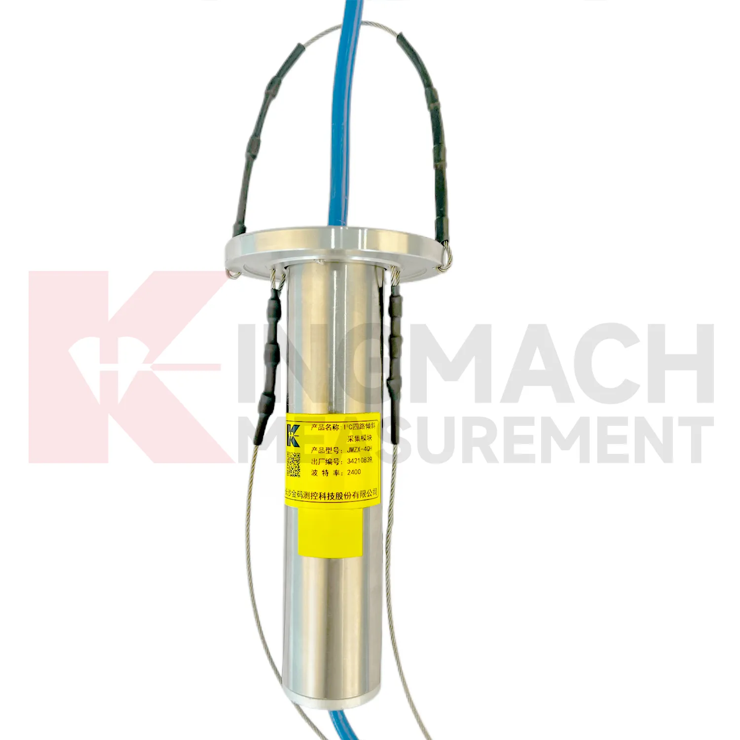
Kingmach Vertical In-Place Inclinometer System are designed to work with automated test systems and long-term deformation monitoring. Product pages mention remote unattended automatic measurement, automatic temperature compensation, low-power standby modes, electronic identifiers, intelligent computation, and data upload by wired or wireless means. These details are especially useful in foundation pits, slopes, tunnels, bridges, railways, and dams, where site access may be periodic or hazardous. Automation should not be treated as a simple hardware feature. The project must define how tilt values are named, when they are collected, how abnormal data is checked, which personnel inspect the site, and how maintenance events are recorded. A stable automated tilt system combines sensor reliability, protected power, clean communication, and a review process that connects the angle curve to real site behavior.
Application of Vertical In-Place Inclinometer System
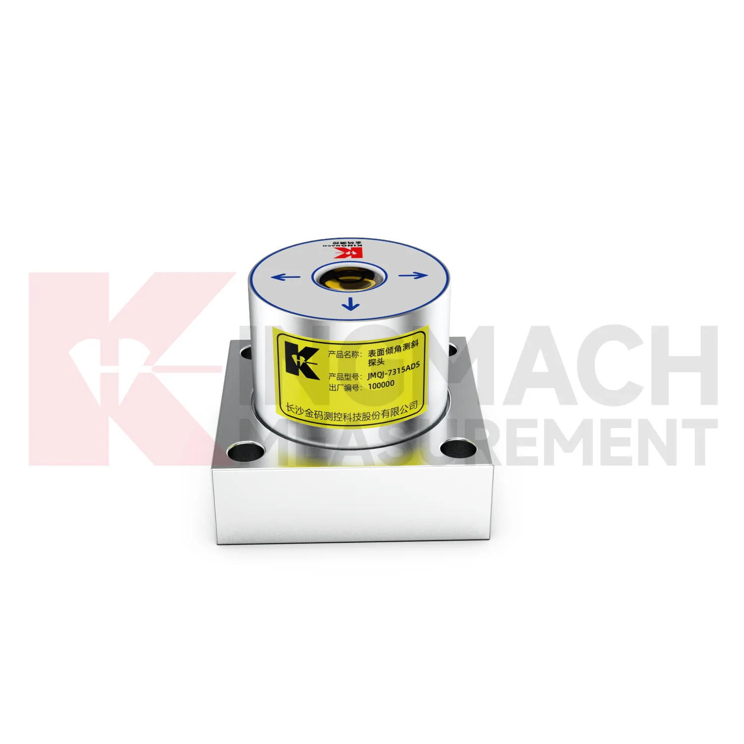
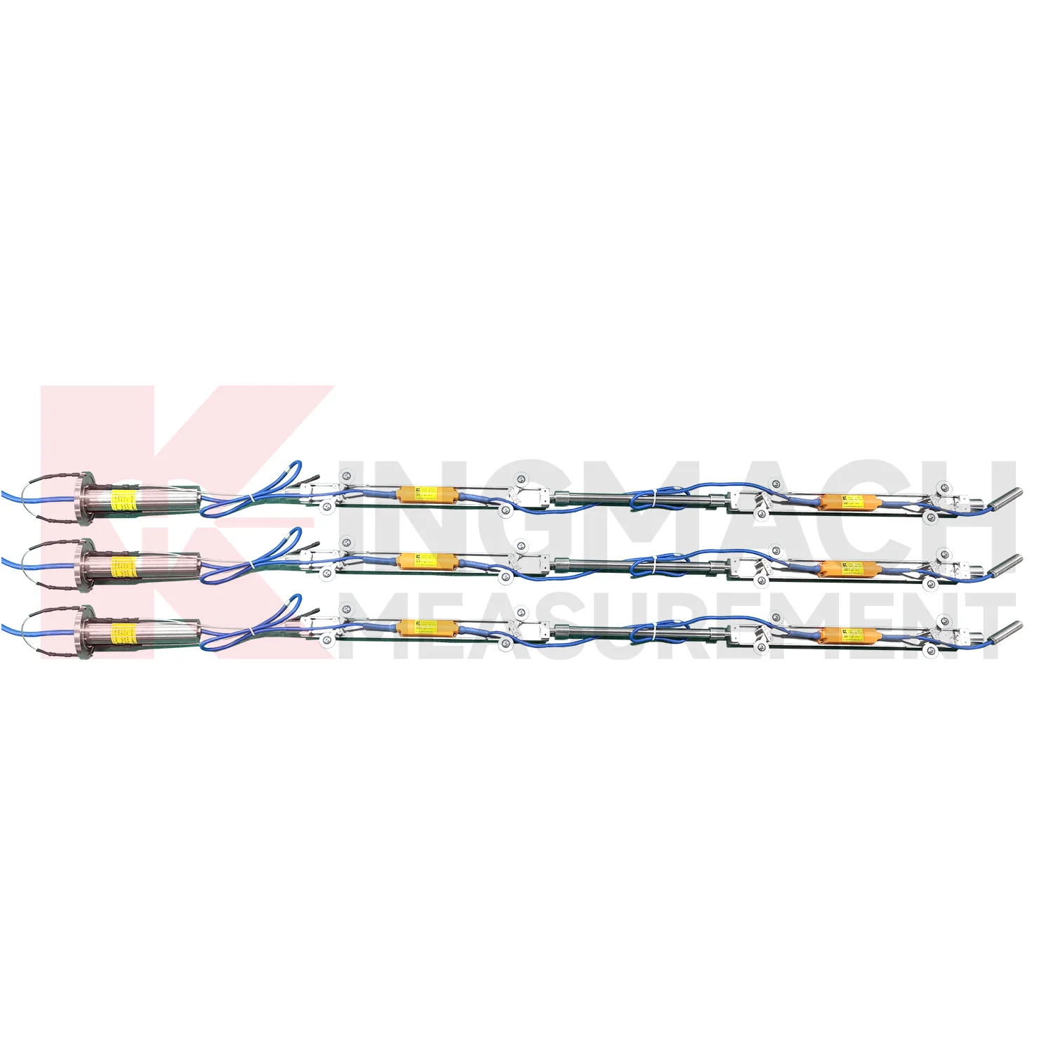
Railway and subway projects use Vertical In-Place Inclinometer System to observe trackside structures, retaining walls, tunnel linings, station structures, and embankment slopes. JMQJ-7315ADS supports wired RS485 acquisition, while JMQJ-7315RTU can reduce cable work through wireless 4G transmission. For underground or borehole deformation, JMQJ-7915ATS can provide multi-point inclinometer measurements. Tilt data should be interpreted with train operation, vibration, settlement, displacement, lining inspection, groundwater, and construction stage. Railway environments place strict demands on mounting protection and data continuity because access windows may be short. A good record connects each sensor with chainage, side, axis, structural member, and baseline reading. That way a tilt trend can be quickly compared with maintenance work or nearby deformation instruments.
The future of Vertical In-Place Inclinometer System
Data interpretation will become a stronger part of future Vertical In-Place Inclinometer System use. Angle values are precise, but the engineering meaning depends on direction, rate, location, structure type, and nearby events. A building column tilt record, a slope borehole profile, and a bridge pier rotation curve should not be judged the same way. Future platforms can help by grouping points by structure, showing rate of change, linking photos and inspection notes, and comparing tilt with settlement, displacement, strain, load, and water level. Kingmach tilt products provide the sensing layer; the next practical gain comes from making review workflows clearer. Better interpretation reduces both missed warnings and unnecessary field alarms.
Care & Maintenance of Vertical In-Place Inclinometer System
Data review is part of maintaining Vertical In-Place Inclinometer System. A curve should be checked for rate, direction, sudden jumps, missing values, repeated flatlines, and disagreement with nearby instruments. Compare tilt with settlement, displacement, strain, load, pore pressure, rainfall, vibration, and water level when available. For automated systems, verify channel names, units, time stamps, and alarm thresholds after platform changes. For manual readings, keep raw field notes and processed graphs together. If an alarm appears, inspect the mounting point, communication path, recent site work, and related instrument behavior. A good maintenance process treats data quality and field condition as one record, not two separate tasks.
Kingmach Vertical In-Place Inclinometer System
For automated monitoring, Kingmach Vertical In-Place Inclinometer System can reduce the need for repeated manual survey work in hidden or hazardous locations. Fixed and integrated units can connect to acquisition systems, while in-place inclinometer strings can collect multi-depth data through an orifice module. JMQJ-7315RTU is designed for remote unattended automatic measurement using 4G wireless communication. JMQJ-7915ATS supports wired or wireless upload from the acquisition module, and its low-power mode activates sensors only during data measurement. These features matter where access is restricted by traffic, excavation, weather, or operating infrastructure. Automation does not remove the need for field checks, but it gives owners a continuous record that can be compared with rainfall, groundwater, blasting, train operation, loading, or nearby construction events.
FAQ
Q: How accurate is the JMQJ-7315ADS tiltmeter?
A: The product page lists 0.001 degree resolution and 0.01 degree accuracy for the +/-15 degree dual-axis model.Q: What protection grade does JMQJ-7315ADS have?
A: It is listed with IP68 waterproof protection and an operating environment from -30 degrees Celsius to +80 degrees Celsius.Q: What range does JMQJ-7315RTU provide?
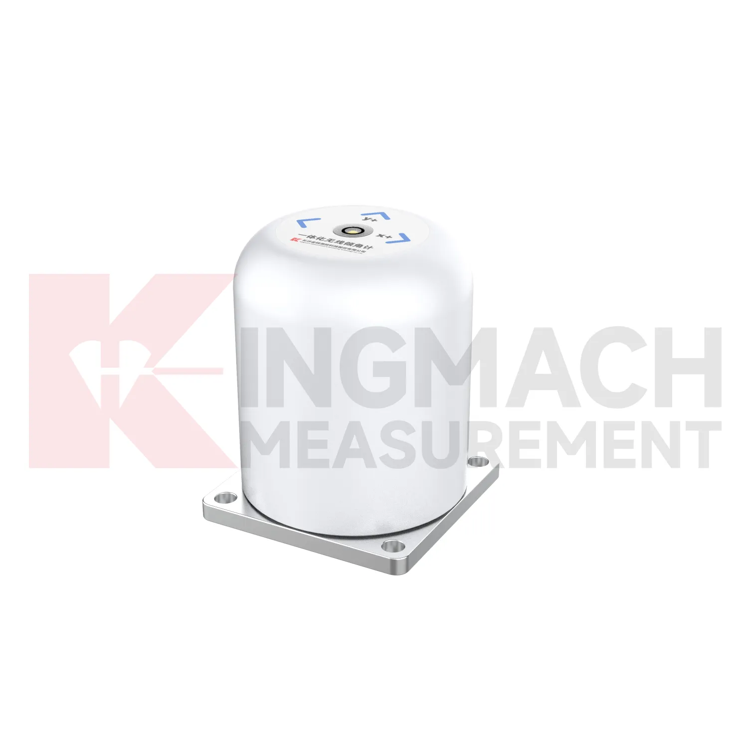
A: The integrated wireless model lists +/-30 degree and +/-15 degree dual-axis range options, with 0.001 resolution.Q: How many sensors can JMZX-4QH support?
A: The module lists four channels and support for up to 100 sensors in a multi-point inclinometer system.Q: What is the guide wheel spacing for JMZX-7100L?
A: The sliding inclinometer page lists a 500 mm guide wheel spacing reference and a +/-90 degree sensor range.
Reviews
Robert Taylor
The weir flow meter is well-built and delivers accurate measurements. Great value for water management applications.
Christopher Martinez
Very satisfied with the readouts & data loggers. User-friendly interface and supports multiple sensor inputs.
Latest Inquiries
To protect the privacy of our buyers, only public service email domains like Gmail, Yahoo, and MSN will be displayed. Additionally, only a limited portion of the inquiry content will be shown.
Evelyn***@gmail.comSouth Africa
Hi, we are a contractor working on tunnel construction and need settlement sensors and displacement ...
Sophia***@gmail.comUnited Kingdom
Good day, we need environmental monitoring sensors including temperature, humidity, and wind sensors...